READING 01
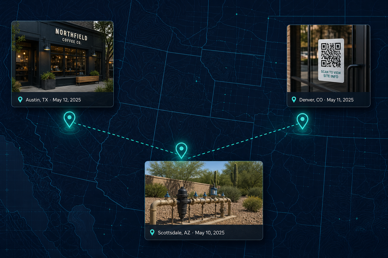
The QR by the register
Which provider is behind the survey and payment codes taped to storefront glass — and where they’re actually placed.
qr · provider · placement
EARTH TELEMETRY · CAPTURED ON FOOT
MapWhisper is a paid field network that documents how places are actually set up — the QR code taped by the register, the irrigation controller bolted to the wall, the bulbs in the loading bay. Geo-tagged, timestamped, licensed. Never people. Always places.
PIN 0412 · 30.2672, −97.7431 · 2026-03-11 10:24 CDT · ±6 m APPROVED
TRY ASKING →
01 / ARCHIVE
Each capture arrives with coordinates, a timestamp, and the mission it answered — searchable the moment it clears review.
Same pin, shot in January and again in June. The difference between the two is the product.
02 / READINGS
These started as photos on one phone — the small, specific things nobody bothered to write down. It turns out nobody sells them either.
READING 01
Which provider is behind the survey and payment codes taped to storefront glass — and where they’re actually placed.
qr · provider · placement
READING 02
Rain Bird or Hunter, wall-mounted or pedestal, across Texas subdivisions and commercial lots.
irrigation · brand · model
READING 03
What a facility actually runs overhead, and whether it has swapped to LED since the last visit.
lighting · fixture · swap
READING 04
Dispensaries, ghost kitchens, and storefront turnover on blocks nobody re-surveys.
storefront · opened · closed
Photos first. The intelligence layer comes when buyers tell us what schema they want — you can’t guess that before the data exists.
03 / PIPELINE
One photo’s trip through MapWhisper — brief, shoot, verify, archive, license. Anything with a person in frame drops out at review; approved pins go back on the calendar for a revisit.
A person in frame is an automatic reject. We don’t blur them — we don’t keep the photo.
04 / HOW
No long onboarding. Missions go out, captures come back, buyers license what they need.
STEP 01
We publish a brief for a place that matters — a region, one signal, a shot list, a payout.
mission › atx_irrigation_ctrl
area · 1.2 km² · shots · 5
payout · $4 / approved
STEP 02
A contributor walks it and shoots the brief. Places and equipment only — no people, ever.
upload › IMG_2841.heic
gps · 30.2672, −97.7431 · ±6m
captured_at · 2026-03-11 10:24
STEP 03
We check the geofence, the EXIF, and the frame. Anything off-brief or with a person in it is out.
checks › geofence ✓ · exif ✓
faces · none detected ✓
status · approved
STEP 04
Buyers license the pack. Labels get added for the categories buyers keep asking about.
license › pack_tx_irrigation_q1
photos · 212 · research use
delivery · API + CSV
05 / WHY
Not a hit-piece. Just where we differ from the other ways people try to see the physical world.
| Capability | MapWhisper | Satellite & aerial | Street imagery | Venue cameras |
|---|---|---|---|---|
| Reads labels at eye level | Yes | No | Rarely | Only in frame |
| Coverage without installing hardware | Yes | Yes | Yes | No |
| Refresh when you ask for it | Missions, on demand | Scheduled passes | Years apart | Continuous, one site |
| People-free by policy | Always | n/a | Blurred | No |
| Licensed for research & intel | Yes | Restricted | Restricted | Private |
| Change tracking at one pin | Built in | Roof level only | No | Single site |
06 / ACCESS
Private alpha is open for buyers and for people who like walking their city.
FOR BUYERS
Regional packs, standing subscriptions, and custom missions. Structured labels once you tell us the schema — photos first, intelligence when you define it.
FOR CONTRIBUTORS
Take missions near you, shoot the brief on your usual walk, and get paid for every photo that clears review.
07 / FAQ
No — never. Captures are places, signage, and equipment. A photo with a person in frame is rejected in review, not blurred and kept.
No. We document how places are set up and how that changes. We don’t follow individuals, run live feeds, or sell to anyone building a watchlist. Repeat visits are scheduled by pin, not by person.
Because nobody can tell you what they’ll pay for until they see the raw thing. We let demand shape the schema — then we enrich the categories buyers keep coming back for.
A fixed camera needs permission, power, and a spot to mount — and then it only ever sees one doorway. A field network covers a whole district this week and a different one next week, at eye level, where the labels are.
Public space, or private property with permission. No interiors without consent, and nothing in restricted or “no photography” areas.
Private alpha. Tell us your region and the signal you care about — we read every response.
Or just email us — hi@mapwhisper.ai